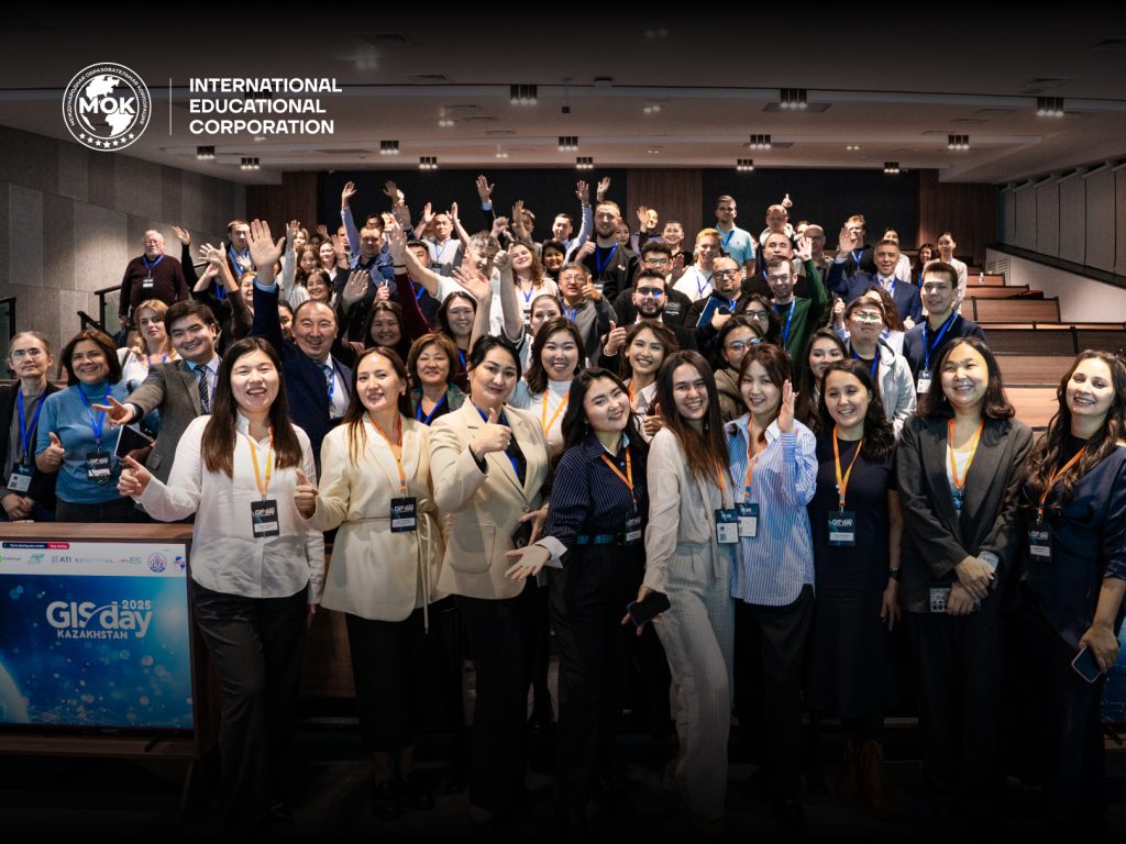
On November 20-21, 2025, the International Educational Corporation (KazGASA) hosted the annual international conference GIS Day Kazakhstan 2025, dedicated to the development and application of geographic information systems. The event is part of a global initiative aimed at promoting geospatial technologies and strengthening the role of GIS in ecology, urban planning, geology, energy, cadastre, digital planning, and related fields.
GIS Day has been held in Kazakhstan since 2022 and has become a prominent professional platform uniting universities, government agencies, research centers, and major international companies.
The first day of GIS Day Kazakhstan 2025 featured a rich conference program, including an official opening and a series of thematic sessions. Participants discussed the use of GIS for sustainable development, air quality and water resource analysis, urban planning, digital infrastructure, GIS data integration, and training specialists in the era of digitalization. The final session focused on geosciences, machine learning, and Earth observation technologies, showcasing map competition results and projects on landslide monitoring, climate analysis, and digital twin creation.
On November 21, the event continued with hands-on workshops. Attendees learned how to create visual narratives using ArcGIS StoryMaps and took part in an introductory practical session on Google Earth Engine for satellite data analysis.
Hosting GIS Day Kazakhstan 2025 at IEC (KazGASA) marked an important step in strengthening collaboration with the industry, expanding academic and scientific partnerships, and promoting the achievements of the university’s students and faculty in geoinformatics, geotechnology, and digital cartography.